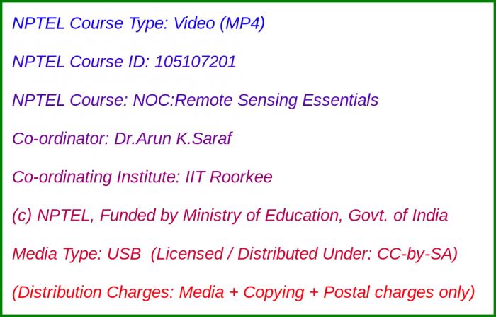
Media Storage Type : 32 GB USB Stick
NPTEL Subject Matter Expert : Dr.Arun K.Saraf
NPTEL Co-ordinating Institute : IIT Roorkee
NPTEL Lecture Count : 56
NPTEL Course Size : 14 GB
NPTEL PDF Text Transcription : Available and Included
NPTEL Subtitle Transcription : Available and Included (SRT)
Lecture Titles:
Lecture 1 - Rudiments of Remote Sensing and Advantages
Lecture 2 - Historical Perspective of development of remote sensing technology
Lecture 3 - EM spectrum, solar reflection and thermal emission
Lecture 4 - Interaction of EM radiation with atmosphere including atmospheric scattering, absorption and emission
Lecture 5 - Interaction mechanisms of EM radiation with ground, spectral response curves
Lecture 6 - Laws of Radiation and their relevance in Remote Sensing
Lecture 7 - Basis of remote sensing image representation
Lecture 8 - Various Remote Sensing Platforms
Lecture 9 - Multi-spectral scanners and imaging devices
Lecture 10 - Significant characteristics of LANDSAT, SPOT, Sentinel sensors
Lecture 11 - Prominent characteristics of IRS, Cartosat, ResourceSat sensors
Lecture 12 - Unmanned Aerial Vehicle/Drone
Lecture 13 - Passive Microwave Remote Sensing
Lecture 14 - Image characteristics and different resolutions in Remote Sensing
Lecture 15 - Different techniques of Image acquisition
Lecture 16 - Importance of digital image processing
Lecture 17 - Digital Image Processing Software
Lecture 18 - Basic image enhancement techniques
Lecture 19 - Colour representations and transformtions
Lecture 20 - Image Histograms and statistics
Lecture 21 - Atmospheric errors and corrections
Lecture 22 - Geometric transformations/Geo-referencing Technique
Lecture 23 - Digital Image Processing Software Demonstration - 1
Lecture 24 - Image enhancement techniques - 1
Lecture 25 - Image enhancement techniques - 2
Lecture 26 - Digital Image Processing Software Demonstration - 2
Lecture 27 - Spatial Filtering Techniques, Band rationing and PCA
Lecture 28 - Frequency Doman Fourier Transformation
Lecture 29 - Digital Image Processing Software Demonstration - 3
Lecture 30 - Unsupervised image classification and density slicing techniques
Lecture 31 - Supervised image classification techniques and limitations
Lecture 32 - Digital Image Processing Software Demonstration - 4
Lecture 33 - LiDAR Technique and applications
Lecture 34 - Mosaicking, subsets, sub-sampling techniques and applications
Lecture 35 - False Topographic Phenomena and correction techniques - 1
Lecture 36 - False Topographic Phenomena and correction techniques - 2
Lecture 37 - High Spatial Resolution Satellite Images and limitations
Lecture 38 - Basic Image Compression techniques and different image file formats
Lecture 39 - Hyperspectral Remote Sensing
Lecture 40 - Digital Image vs Digital Photograph
Lecture 41 - NDVI and other indices
Lecture 42 - Active Microwave Remote Sensing - 1
Lecture 43 - Active Microwave Remote Sensing - 2
Lecture 44 - Radar Images interpretation and applications
Lecture 45 - SAR Interferometry (InSAR) Technique - 1
Lecture 46 - SAR Interferometry (InSAR) Technique - 2
Lecture 47 - Principles of image interpretation
Lecture 48 - Image interpretation of different geological landforms, rock types and structures
Lecture 49 - Remote Sensing of Moon and Mars
Lecture 50 - Google Earth and its Applications
Lecture 51 - Integrated applications of RS and GIS in groundwater studies - 1
Lecture 52 - Integrated applications of RS and GIS in groundwater studies - 2
Lecture 53 - Applications of Remote Sensing in Earthquake Studies - 1
Lecture 54 - Applications of Remote Sensing in Earthquake Studies - 2
Lecture 55 - Different sources of free satellite images
Lecture 56 - Limitations of Remote Sensing Techniques

