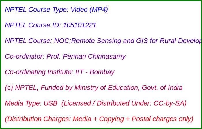
NOC:Remote Sensing and GIS for Rural Development

Media Storage Type : 32 GB USB Stick
NPTEL Subject Matter Expert : Prof. Pennan Chinnasamy
NPTEL Co-ordinating Institute : IIT Bombay
NPTEL Lecture Count : 60
NPTEL Course Size : 6.4 GB
NPTEL PDF Text Transcription : Available and Included
NPTEL Subtitle Transcription : Available and Included (SRT)
Lecture Titles:
Lecture 1 - Introduction to course - Rural development (RD)
Lecture 2 - Water security (SF) and Water security (GW) and issues
Lecture 3 - Food security and issues
Lecture 4 - Agriculture and rural infrastructure issues
Lecture 5 - Rural Development
Lecture 6 - Data and mapping issues for Rural regions
Lecture 7 - Introduction to Remote Sensing and need
Lecture 8 - Remote Sensing for Water and Food Security
Lecture 9 - Remote Sensing for Rural infrastructures
Lecture 10 - Remote Sensing for Rural Development
Lecture 11 - Intro to Remote Sensing Data for Rural Development
Lecture 12 - Intro to Remote Sensing Data for Rural Development : Water
Lecture 13 - Intro to Remote Sessing Data for Rural Development : Soil and Climate
Lecture 14 - Intro to Remote Sensing Data for Rural Development : NASA datasets for water
Lecture 15 - Intro to Remote Sensing Data for Rural Development
Lecture 16 - Intro to GIS and QGIS
Lecture 17 - Intro to GIS data types and download
Lecture 18 - Intro to GIS vector data type and QGIS panel
Lecture 19 - Vector Tools in QGIS
Lecture 20 - QGIS tutorials for vector analysis and data searching
Lecture 21 - Intro to Raster Data type in GIS
Lecture 22 - Raster data type formats and uses
Lecture 23 - Raster data and Vector data quality issues
Lecture 24 - Raster data tools: Raster calculator and Raster Align
Lecture 25 - Raster data tools: Clip and Masking tools
Lecture 26 - Intro to GIS Projections and Co-ordinate systems
Lecture 27 - Intro to digitization of images for raster data
Lecture 28 - Digitization of scanned maps into raster data
Lecture 29 - Extracting point and line features from georeferenced data
Lecture 30 - Extracting polygon features from georeferenced data
Lecture 31 - Creating shapefiles from georefrenced maps
Lecture 32 - Google Earth Pro introduction for extracting data
Lecture 33 - Ground Control points from Google Earth Pro and Basemaps
Lecture 34 - Digital Elevation models and sources
Lecture 35 - Digital Elevation models (hands on example)
Lecture 36 - Introduction to Land Use Land Cover
Lecture 37 - Data for LULC and proxy data
Lecture 38 - Analyzing Bhuvan LULC data - Part 1
Lecture 39 - Analyzing Bhuvan LULC data - Part 2
Lecture 40 - Analyzing USGS LULC data
Lecture 41 - Different types of LULC classifications
Lecture 42 - Different types of LULC classifications
Lecture 43 - Remote Sensing for irrigation assessments
Lecture 44 - Remote Sensing for Groundwater irrigation assessments
Lecture 45 - Methods for Crop Statistics using Remote Sensing data
Lecture 46 - Remote Sensing based indicators for rural development
Lecture 47 - Remote Sensing methods for crop area and health assessments
Lecture 48 - NDVI data access
Lecture 49 - NDVI data from NASA platforms
Lecture 50 - NDVI data from Sentinel and NASA platforms
Lecture 51 - Remote Sensing based indicators database
Lecture 52 - Synergized mapping using Remote Sensing and Crowd Sourced data for rural infrastructures
Lecture 53 - RS and OSM for mapping rural infrastructures: Schools
Lecture 54 - RS and OSM for mapping rural infrastructures: Hospitals
Lecture 55 - RS and OSM for mapping rural infrastructures: Adding data, crops and water bodies
Lecture 56 - RS and GIS application for Rural Development: Moniotring and Evaluation
Lecture 57 - RS and GIS application for Rural Development: Monitoring and Evaluation using NDVI and NDWI
Lecture 58 - RS and GIS application for Rural Development: Water Quality Assessment
Lecture 59 - RS and GIS application for Rural Development: Indicators and Dashboards
Lecture 60 - RS and GIS for Rural Development - Summary, Wrap and Ways Forward

