
Media Storage Type : 32 GB USB Stick
NPTEL Subject Matter Expert : Prof. Pradeep Kumar Garg
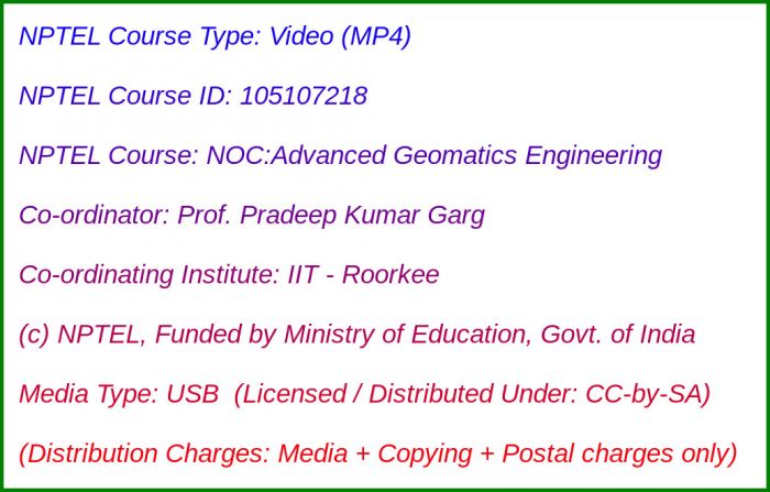
NPTEL Co-ordinating Institute : IIT Roorkee
NPTEL Lecture Count : 60
NPTEL Course Size : 7.9 GB
NPTEL PDF Text Transcription : Available and Included
NPTEL Subtitle Transcription : Available and Included (SRT)
Lecture Titles:
Lecture 1 - Introduction to Geomatics Engineering
Lecture 2 - Various Applications of Geomatics Engineering
Lecture 3 - Photogrammetry - An Introduction
Lecture 4 - Photogrammetry - Geometry of Aerial Photographs
Lecture 5 - Photogrammetry - Scale of Aerial Photographs
Lecture 6 - Photogrammetry - Relief Displacment
Lecture 7 - Photogrammetry - Stereo Pairs and Stereovision
Lecture 8 - Photogrammetry - Stereovision with Stereoscopes
Lecture 9 - Photogrammetry - Parallax in Photographs
Lecture 10 - Height Determination from Stereo-Pairs
Lecture 11 - Photogrammetry - 3D Mapping, DEM, DTM and DSM
Lecture 12 - Digital Photogrammetry
Lecture 13 - Remote Sensing - An Introduction
Lecture 14 - Remote Sensing - Electromagnetic Spectrum
Lecture 15 - Remote Sensing - Energy Interaction with Atmosphere / Earth Surface
Lecture 16 - Remote Sensing - Blackbody and Atmospheric Window
Lecture 17 - Spectral Signature in Remote Sensing
Lecture 18 - Remote Sensing - Types of Resolutions
Lecture 19 - Multi-concepts in Remote Sensing
Lecture 20 - Remote Sensing - Satellite Orbits
Lecture 21 - Remote Sensing - Various Sensors
Lecture 22 - Remote Sensing Sensors and Platforms - I
Lecture 23 - Remote Sensing Sensors and Platforms - II
Lecture 24 - Very High Resolution Remote Sensing Data
Lecture 25 - Remote Sensing - Thermal, Microwave, and Hyperspectral Images
Lecture 26 - Remote Sensing - Visual Interpretation Method
Lecture 27 - GPS Surveying - Introduction and Components
Lecture 28 - GPS Surveying - Working Principle
Lecture 29 - GPS Surveying - Various Methods
Lecture 30 - GPS Surveying - Sources of Errors
Lecture 31 - GPS - Applications
Lecture 32 - LiDAR - An Introduction
Lecture 33 - Data Collection with Mobile Laser Scanners
Lecture 34 - Data Collection with Airborne LiDAR Systems
Lecture 35 - Unmanned Aerial Vehicles - An Introduction
Lecture 36 - Classifications of UAVs/Drones
Lecture 37 - Various Components of Drone and Their Functions
Lecture 38 - Flying Drones for Data Collection
Lecture 39 - Unmanned Aerial Vehicles - Various Applications
Lecture 40 - Digital Image Processing - An Introduction
Lecture 41 - Pre-processing - Atmospheric Corrections
Lecture 42 - Pre-processing - Geometric Corrections
Lecture 43 - Pre-processing - Resampling Methods
Lecture 44 - Digital Image Enhancement Methods
Lecture 45 - Spatial Filtering in Digital Remote Sensing
Lecture 46 - Digital Image Transformation Methods
Lecture 47 - Supervised Classification Methods
Lecture 48 - Unsupervised Classification Methods
Lecture 49 - Accuracy Assessment of Classification
Lecture 50 - Geographic Information System - An Introduction
Lecture 51 - Various Components of a GIS
Lecture 52 - GIS - Various Data Types and Their Characteristics
Lecture 53 - Geographic Information System - Data Input
Lecture 54 - GIS Databases and Their Uses
Lecture 55 - GIS - Based Extraction of Parameters from DEM
Lecture 56 - Buffering and Overlay Analysis in GIS
Lecture 57 - Spatial and Network Analysis in GIS
Lecture 58 - Geomatics Applications - Site Suitability Analysis
Lecture 59 - Geomatics Applications - Transportation Route Planning
Lecture 60 - Geomatics Applications - Smart City Planning