
Media Storage Type : 32 GB USB Stick
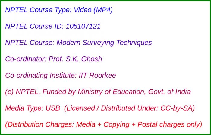
NPTEL Subject Matter Expert : Prof. S.K. Ghosh
NPTEL Co-ordinating Institute : IIT Roorkee
NPTEL Lecture Count : 40
NPTEL Course Size : 1.9 GB
NPTEL PDF Text Transcription : Available and Included
NPTEL Subtitle Transcription : Available and Included (SRT)
Lecture Titles:
Lecture 1 - Geographic Information System An Introduction
Lecture 2 - Introduction to Global Positioning System
Lecture 3 - GPS Positioning Methods
Lecture 4 - GPS Solutions and Errors
Lecture 5 - GPS Application
Lecture 6 - Remote Sensing Introduction
Lecture 7 - Electromagnetic Spectrum
Lecture 8 - Sensors and Platform
Lecture 9 - Sensors and Platform
Lecture 10 - Image Interpretation
Lecture 11 - Statistical Evaluation of RS Data
Lecture 12 - Rectification and Restoration
Lecture 13 - Image Enhancement
Lecture 14 - Image Transformation
Lecture 15 - Orthogonal Transformation
Lecture 16 - Image Classification (Supervised Classification)
Lecture 17 - Image Classification (Unsupervised Classification)
Lecture 18 - Spatial Filtering-Noise Removal
Lecture 19 - Spatial Filtering-Edge Removal
Lecture 20 - Photogramatic-Basic concepts of a single photography
Lecture 21 - Stereoscopy-Basic concepts
Lecture 22 - Stereoscopy-Geometry of overlaping photograph
Lecture 23 - Terrestrial Photogrammetry
Lecture 24 - Digital Elevation Model-Basic Concepts
Lecture 25 - Digital Elevation Model-Data Input and Stamping
Lecture 26 - Digital Elevation Model-Surface representation and analysis
Lecture 27 - GIS-Introductory Concepts
Lecture 28 - GIS-Data Input
Lecture 29 - Data Verification and Editing
Lecture 30 - GIS Data Model
Lecture 31 - GIS Data Base
Lecture 32 - Spatial Analysis
Lecture 33 - Map Overlay and Spatial Correlation
Lecture 34 - Application to Drought Management
Lecture 35 - GIS base planning model for educational facilities in rural areas
Lecture 36 - Application extraction of building attributes
Lecture 37 - Zonal based tourism planning
Lecture 38 - Zonal Planning using remote sensing
Lecture 39 - Municipal GIS for assassment of property tax
Lecture 40 - Application of remote sensing